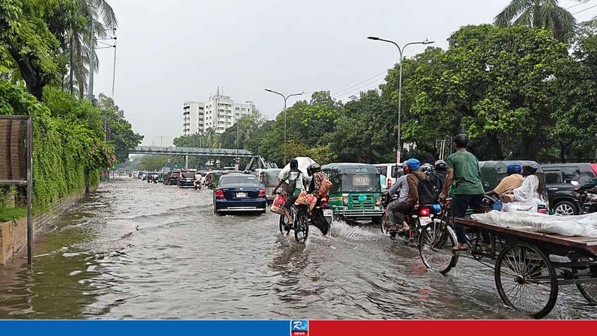
Continued monsoon precipitation throughout August is expected to raise water levels across Bangladesh's primary river systems, increasing the risk of localized inundations in multiple zones.
According to the August climate outlook released on Sunday by the Bangladesh Meteorological Department (BMD), "Due to monsoon heavy rainfall, short-term flooding may occur in the northern, northeastern and southeastern regions of the country."
The meteorological agency projects overall precipitation levels for August to align with monthly averages.
However, conditions over the Bay of Bengal are expected to trigger one or two low-pressure developments, with at least one potentially escalating into a monsoon depression.
Additionally, weather officials anticipate severe thunder activity spanning five to six days, alongside nationwide daytime and nighttime temperatures hovering above seasonal normals.
Isolated pockets may also encounter one to two spells of mild (36.0–37.9°C) to moderate (38.0–39.9°C) heatwaves.
These forecasts were finalized following a session of the Expert Team on Long-Range Weather Forecasting held at Dhaka's Storm Warning Centre on August 2.
Reviewing meteorological records from July 2026, the panel noted that the nation experienced 35.6 percent higher precipitation than average during the previous month.
Mymensingh Division recorded typical rainfall volumes, whereas all other administrative divisions received above-normal downpours.
July's heavy rainfall was largely driven by an active southwest monsoon coupled with three low-pressure systems over the Bay of Bengal, two of which grew into monsoon depressions.
These weather patterns frequently brought gusty and squally winds along with severe thunderstorms across the country.
The first low-pressure area emerged on July 2 over the northwest Bay and neighboring coastal sections of northern Odisha and West Bengal.
It developed into a well-marked low on July 4 and upgraded to a monsoon depression on July 5. Moving in a west-northwesterly trajectory, the system crossed the northern Odisha coast near Baleshwar around 6 am on July 6 before gradually dissipating.
A second system formed on July 15 over similar maritime regions off Odisha and West Bengal, organizing into a well-marked low on July 16. It degraded back to a low-pressure zone on July 17 and subsequently dissipated.
The final system originated on July 25 over the northwest Bay and adjoining Gangetic West Bengal-northern Odisha stretch, quickly intensifying into a well-marked low.
By noon on July 26, it reached monsoon depression strength and further intensified into a deep depression on July 27.
The storm tracked west-northwest, crossing the West Bengal-Odisha coastline around 6 am on July 28 before moving westward, losing strength, and fading.
Among individual weather events in July, Ambagan in Chattogram logged the month's heaviest single-day rainfall at 329 mm on July 8.
Temperatures also fluctuated, with a brief mild heatwave affecting parts of the country on July 3 and 4.
Rangpur registered the month's highest maximum temperature of 37.6°C on July 4, while Sylhet recorded the lowest minimum temperature of 22.0°C on July 22.






 Live TV
 RTV Plus